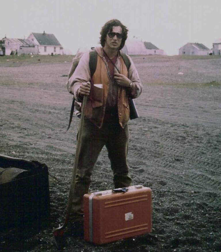
R&M had been contracted to perform a design & boundary survey as well as produce a Survey Control Drawing, a Property Plan and an Airport Boundary Record of Survey. Another R&M senior surveyor had been assigned to perform and manage the survey and production of the deliverables. I was asked to review the boundary due to some anomalies that arose from the survey. Gambell Airport brought back some memories. In 1976 I was working for the Fairbanks firm, Alaska Architectural & Engineering Co. They had designed the new school and my job was to set the 4 corners for the school site with our trusty Wild inverted T1 and HP 3800 distance meter. Gambell weather is not known for being cooperative. My partner and I first flew to Nome where we waited for three days before a plane could make it to Gambell. Then after our short survey, we waited another couple of days in Gambell waiting for a plane to take us back to Nome. But that was fine. We resided in an old fish drying shack but were invited to a Gambell home for a couple of meals. The control for our survey would be the airport boundary and centerline monuments. The boundary was based on US Surveys No. 3728 & 4369. The centerline monuments had been established as a part of the 1962 Department of Public Works Airport Property Plan.

The R&M Survey of Gambell Airport occurred in the Fall of 2015. The conflicts discovered in the survey provided classic examples of the doctrine that position of original monuments will control over conflicting record dimensions and that the intent of the parties could resolve conflicts in property descriptions. In 2012-2013, BLM had commenced with USS 14442, a retracement and dependent resurvey of several US Surveys on St. Lawrence Island. The southerly boundary of the airport according to the prior property plans was the southerly boundary of Lot 1, USS 4369. The R&M survey recovered the original WCMC 2 along the south boundary of USS 4369. The USS 14442 survey did not find WCMC 2 and so reset WCMC 2 & 3 based on record data. Upon notification of BLM of the recovered WCMC 2, BLM acknowledged it as an original monument, pulled their WCMC 2 & 3 set for USS 14442 and reset WCMC 3 based on the WCMC 2 position. The result was that the true southerly boundary of Lot 1, USS 4369 was 329 feet (appx. 5 chains) to the north of the US Survey platted boundary. And when the State received patent to Lot in in 1984, rather than receiving the platted 64.03 acres, they received closer to 59 acres or 5 acres less than expected. (Buyer beware...) See the current R&M Property Plan Note 14.
The next conflict was the metes & bounds property description used to define Tract IV, an Avigation and Hazard easement acquired in 1984 that was based on the incorrectly dimensioned 1983 property plan. The property plan shows the west boundary of Lot 2 to consist of two meanders totaling 673 feet while the west boundary of Lot 2 USS 4369 is a single meander of 567 feet or about 106 feet shorter. The result is that the M&B description commences at a point about 99 feet to the north of the north boundary of Lot 2. This potentially leaves a gap between Tracts III & IV. Due to the ambiguity in how Tract IV should be shown on the new R&M property plan, we essentially provided DOT with options and requested their direction regarding a solution with the recognition that this may also require DOT going back to the land owner for a corrective deed. The resolution can be found in Property Plan Note 15.
| Date | Documents |
|---|---|
|
11/30/15 |
Gambell Airport Gap - memo |
|
n/a |
Gambell Airport Prop Plan - draft |
|
n/a |
Gambell Airport SCD - Survey Control Drawing - draft |
|
n/a |
|
| BLM | |
|
12/7/15 |
|
|
2/14/62 |
|
|
3/22/68 |
|
| FAA | |
|
3/28/07 |
FAA RPZ Excerpt - Advisory Circular |
| Airport Tract IV | |
|
n/a |
Gambell Tract IV change - highlighted draft property plan (3mb) |
|
n/a |
|
|
n/a |
|
| 9/25/84 |
Tract IV PAHE - ROW Annotated - Permit, Avigation & Hazard Easement |
| 9/25/84 |
|